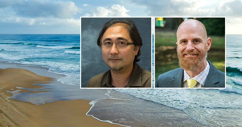
Imagine standing at the shoreline on the beach, where breaking ocean waves rush in and out. Known as the swash zone, this is the area where over half of all nearshore sand movement occurs. Over time, the movement of this zone determines the structure and erosion experienced along coastlines.
Now, thanks to nearly $1 million in funding from the U.S. Coastal Research Program via the U.S. Army Corps of Engineers (USACE), a team of researchers will be conducting a groundbreaking project to better understand how sand is transported in the swash zone. Led by researchers from the University of North Carolina Wilmington, the goal is to understand the physics of sand movement to improve beach erosion predictions, and coastal management.
As part of a four-year, multi-institutional collaboration, Jack Puleo, chair and professor of the Department of Civil and Environmental Engineering, and Tian-Jian ‘Tom’ Hsu, professor in the Department of Civil and Environmental Engineering and director of the Center for Applied Coastal Research, will work with co-investigators Ryan Mieras (UNCW), Blair Johnson (UT) and three doctoral students to address critical gaps in computer models that forecast coastal change.
“UD researchers have extensive expertise in conducting small-scale sediment transport studies using a large array of in situ sensors; some custom built for this application, and highly resolved numerical models,” Puleo said.
The experimental phase of this research is planned for the summer of 2025, and will be conducted at the USACE Engineering Research and Development Center Coastal and Hydraulics Laboratory (CHL) in Vicksburg, Mississippi. CHL’s wave flume, measuring 10 ft. wide and 200 ft. long, offers an ideal setting for controlled experiments that can quantify the physics of sand movement in the swash zone.
“In the field, it’s challenging to control conditions, but in the lab, we can simulate different events and measure under repeatable conditions,” said Mieras, UNCW assistant professor of coastal engineering.
UD and UNCW are among a handful of institutions in the world with technology capable of evaluating nearbed sand movement in the swash zone. Moreover, UD researchers are the main developers of several widely-used open-source models for predicting nearshore hydrodynamics and sediment transport.
In four to five years, this research could revolutionize existing forecasting models, providing accurate data that can aid communities in adapting to and mitigating the impacts of coastal change.
“These unique combinations of novel research methodologies will allow us to gain insights into the fundamental physics of sand movement near the shoreline and to further improve predictive models for beach erosion and recovery,” Hsu said.
Article by Jessica Gardner

